
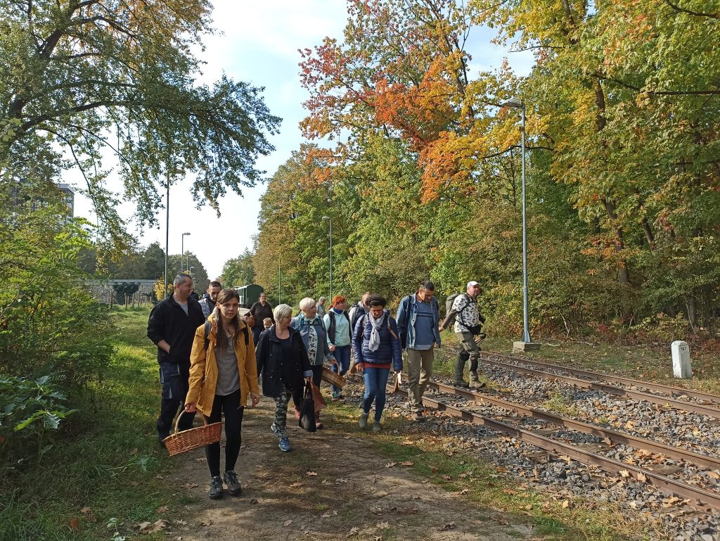
The Erdőspuszták (Wooded Plains) stretches in a semicircle about ten kilometers to the east of Debrecen. The area is popular for hiking and cycling. This tempting landscape is the location of lookouts that stretch into the crown of trees, the trail of the Zsuzsi, the Fancsikai lakes, bird watching, and star gazing tours. The landscape is characterized by diverse flora and fauna. The former large-scale lily-of-the-valley oaks are found in smaller or larger patches. The area’s rich birdlife is stunning, but wild boar, deer, rabbit, and fox are common in this area. Good-smelling pine forests alternate with meadows dotted with wooded patches of forest and wildflowers. From early spring to late autumn, the hiker can return home with many botanical experiences.
The tourist attraction of Hármashegyalja where the Zsuzsi Forest Railway terminates lies in the world of values given by nature: the House of Nature, the forest playground and study trail, the open-air stage, the National Blue Trail, the lookout towers, and the Lake Hármashegyi, all it teaches the love and protection of nature.
The National Blue Trail
Hiking all along the longest continuous trail of our country is a great challenge and a great opportunity to learn about rural Hungary. Hikers may cover the 27 sections without time limits and in any order. The drop-down list above includes these section to provide you with detailed information on each, you can check the elevation transect, points of interest and the list of stamping locations.
By January of 2021 more than 7000 hikers had completed the legendary National Blue Trail of Hungary marked with a blue horizontal stripe (1165 km). The trail traverses the northern side of the country between Írottkő and Hollóháza via each major mountains, the capital and Balaton too. The terrain, the atmosphere, geological and cultural values are so much varied that each section and each day gives unforgettable experiences.
All across the country
Although the trail can be covered from any direction, the descriptions and numbering follow a west to east order. The trail sets off from Írott-kő in Kőszeg Mountains, the highest point of West Hungary. It crosses the plain of Kisalföld to arrive at the lakeside of Balaton. Via the most beautiful hills and basins of Balaton Uplands you will enter the vast forests of Bakony Mountains. In the meantime, you will visit historic towns and climb peaks offering splendid vistas (Kőszeg, Sárvár, Sümeg or the buttes like Badacsony and Szent György-hegy), explore castle ruins (the castle of Csobánc, Rezi and Tátika), but spiritual experience is also granted (Monastery of Bakonybél, Abbey of Zirc).
The trail crosses lower hills of Vértes and then Gerecse abundant in lookout points. Skirting Pilis you will reach the capital and Buda Hills around it to visit popular destinations like Nagy-Szénás, Hűvösvölgy, Árpád lookout tower or Hármashatár-hegy.
Approaching the Danube Bend the trail passes one of the most beautiful gorges of the country (the gorge of Dera Creek) and Dobogókő, the cradle of Hungarian hiking movement.
You will say farewell to West Hungary with the view from and by crossing the Danube your hike across East Hungary begins in Börzsöny Mountains. Lookout points and towers one by one: Julianus lookout tower, Nagy-Hideg-hegy and the highest peak of Börzsöny, Csóványos. Past Börzsöny the trail traverses rolling hills of Cserhát with neat palóc villages including the World Heritage Site of Hollókő.
After leaving the hill behind the trail enter the popular Mátra Mountains with the two highest peaks of the country. Hiking along the ridge you will reach the special of at 963 meters for a memorable vista. Further on the ridge the trail arrives at Kékestető, the highest peak of Hungary at 1014 meters. The section from Kékestető to the eastern edge of Mátra poses the toughest challenge of the Blue Trail with hike repeatedly up and down all the way. It is the numerous lookout points that award you for the effort.
Past Mátra and the adjacent lower hills the trail enters the mountains of the highest average height in the country. Bükk Mountains is characterized by intact forests, sunlit meadows and cliffs towering over Bükk Plateau.
It is worth making short detours to points of interests, such as the Cistercian Abbey Church of Bélapátfalva or the highest lookout point of Bükk with near Bánkút (956 m).
Next the trail crosses the hills of Borsod to enter the northernmost subregion of Hungary, Karst of Aggtelek. Do not miss to visit the World Heritage Site of the Caves of Aggtelek. The cavern of Baradla-Domica stretches as long as 25 km and hides stunning dripstone formations assuring a stunning insight into the underground world of calcareous limestone.
Past discovering the karst region the trail winds through Cserehát, an impoverished region, yet rich in natural and architectural sights. You will reach Zemplén Mountains at the Castle of Boldogkő photogenic for its age (short detour). The mountain is characterized by tent-like mounts (with references to this feature in some geographical names with “sátor” meaning “tent”) and peaks with castle ruins, such as the Castle of Regéc.
The trail turns to the north to reach the highest peak of Zemplén at the state border (Nagy-Milic, 895 m) and continues to the trailhead of the National Blue Trail in Hollóháza.
A brief history of the National Blue Trail
In 1930, the Hungarian Hiking Association set the trailheads and the direction of the Blue Trail crossing the whole country. Originally, it was shorter connecting Bükk Mountains and Bakony Mountains to guide hikers via tourist sites along the route. Setting the route and marking the trail progressed slowly and was interrupted by WW2 leaving one fifth of it unmarked. It reached its final length after the political changes of ’89 as the western trailhead (Írott-kő) on the state border became accessible.
In 1938, a “Countrywide Hike” was initiated along the completed section with the name “Saint Stephen Hike”. A group of hikers set off from both ends and met at Dobogókő. This is the event that is regarded as the inauguration of the Blue Trail. Although it was planned to repeat it every 5 years it failed to become a tradition.
In the 1950s, on the initiative of Budapest Lokomotív Sportsclub Hiking Division the Blue Trail was integrated into a hiking movement, sectioning the trail and awarding completion. In the beginning, participation was limited to members of the club, but later other hikers were welcome too. Due to growing popularity management was handed over to the Hungarian Hikers’ Association in 1961. Since then the Association has been the sole organizer of the Blue Trail movement.
The Blue Trail gained a nationwide fame via the legendary hiking documentary filmed in 1979 by Pál Rockenbauer (One and half million steps in Hungary). The popularity of the primary hiking trail of the country has been rising and in the 2010s the record number of hikers completing it is beaten year by year.
For more information about the Blue Trail click here.


